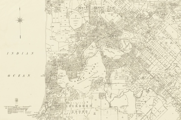
WA Bonnes 80 chain cadastral maps
Maps and charts
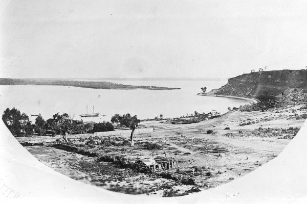
WA history
The Preservation Team has recently completed digitising the Western Australia Bonnes 80 chain cadastral series of maps covering most of the lower third of Western Australia and showing land boundaries from approximately 1896-1984.
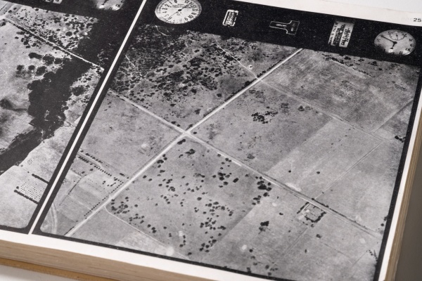
Spy Maps
ANZAC stories
Maps and charts
WA history
A rare album relating to the Japanese Imperial Army's plan to invade Australia and New Zealand during World War II.
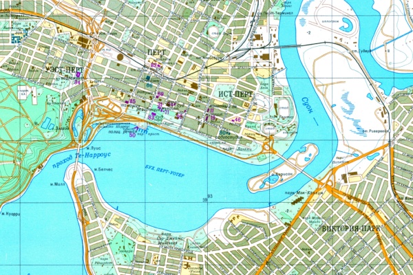
Spy Maps
Stories
Maps and charts
WA history
The Red Atlas details the story of how the Soviet Army used spies to conduct a global topographic mapping program from 1950 to 1990 with astonishing detail that supported a full range of military planning.
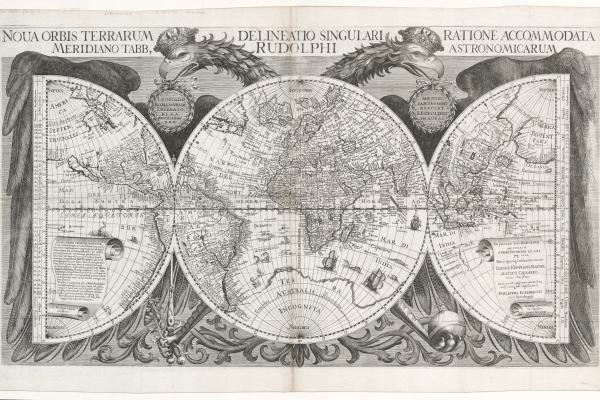
Maps and charts
WA history
The map was designed and engraved by the Nuremberg cartographer Philip Eckebrecht at the request of his friend Johannes Kepler. The map was intended to illustrate his Rudolphine Tables, used to more precisely calculate the positions of the moon and the known planets.
Maps and charts
WA history
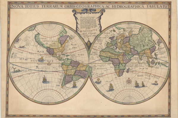
A new addition to the State Library collection, the Hondius World Map by Jodocus Hondius the younger (1594 – 1629) is the earliest printed map to show the recent Dutch explorations on the West Coast of Australia.
A map in four states plus one
Stories
Maps and charts
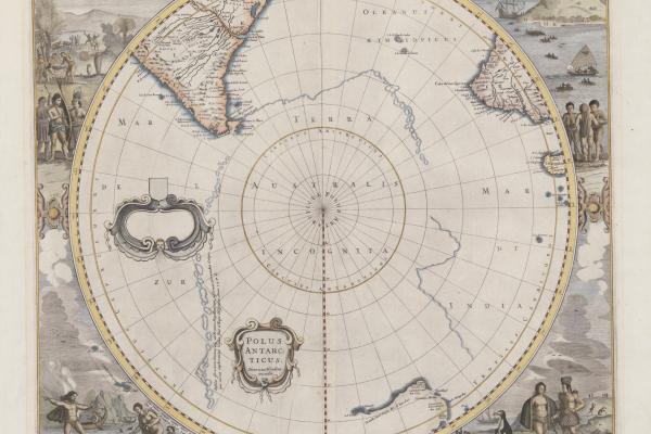
The State Library has five editions of a hemispherical map centred on the South Pole. These show southern parts of South America and South Africa and the west and south coasts of Australia.
Gallipoli 1915 & Ypres 1917
ANZAC stories
Maps and charts
WA history
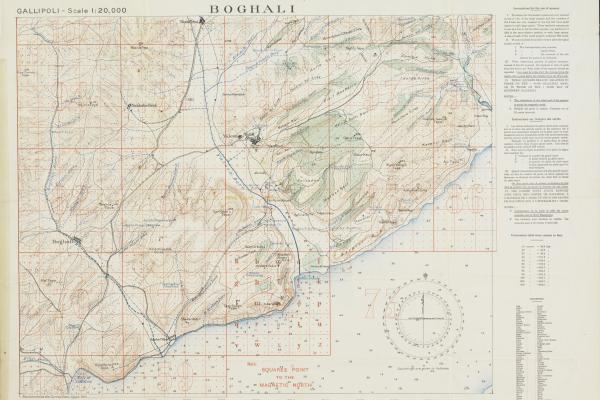
In 1915 and 1917, our historical maps of Gallipoli and Ypres were working documents. Paying attention to them could be the difference between a soldier writing home or someone else writing to their family.
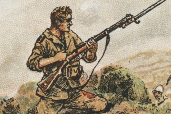
Letters, stories, maps and cigarette cards
ANZAC stories
Maps and charts
SLWA on ABC Radio
WA history
Peter Edwards, Heritage Team Librarian, discusses original ANZAC materials from the State Library archives.
Aboriginal stories
Maps and charts
WA history
We stand on ancient ground. The Perth CBD area was originally home to a chain of seasonal wetlands and lakes.