WA Bonnes 80 chain cadastral maps
Maps and charts
WA history
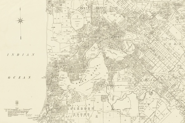
The Preservation Team has recently completed digitising the Western Australia Bonnes 80 chain cadastral series of maps covering most of the lower third of Western Australia and showing land boundaries from approximately 1896-1984.
Maps and charts
WA history
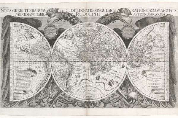
The map was designed and engraved by the Nuremberg cartographer Philip Eckebrecht at the request of his friend Johannes Kepler. The map was intended to illustrate his Rudolphine Tables, used to more precisely calculate the positions of the moon and the known planets.
Maps and charts
WA history
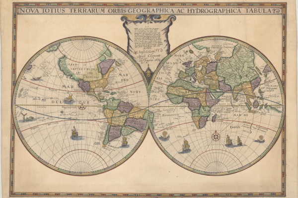
A new addition to the State Library collection, the Hondius World Map by Jodocus Hondius the younger (1594 – 1629) is the earliest printed map to show the recent Dutch explorations on the West Coast of Australia.
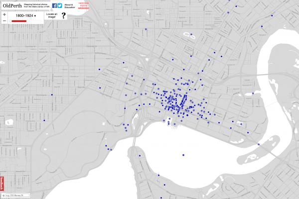
Mapping historical photos from the State Library collection
SLWA on ABC Radio
Dr Kate talks to Associate Professor Andrew Woods about Old Perth which maps historical photos from the State Library's collection.